 Technologies

Our solutions
See more.
Do more.
Unmanned aircraft systems (UAS), payloads and aerial software. Matched to your mission.
Find your capability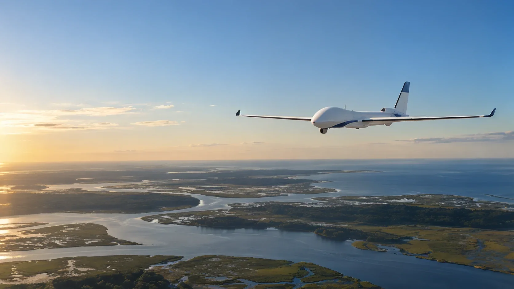 01 / Capture
UAS & drone payloads.
Match your mission with the right aircraft, sensor and payload. We help clarify flight requirements, operating conditions and the information your team needs before connecting you with manufacturers.
Let’s explore02 / AnalyzeAerial software & intelligence.
Turn collected data into useful maps, reports and insight. Explore software and workflows for mapping, inspection and thermal imagery, guided by your operational needs.
Let’s explore 03 / Protect
CUAS.
Coming soon.
Our counter-UAS offering is a work in progress. We’re taking the time to build the right capability. More details will follow.
Let’s talk CUAS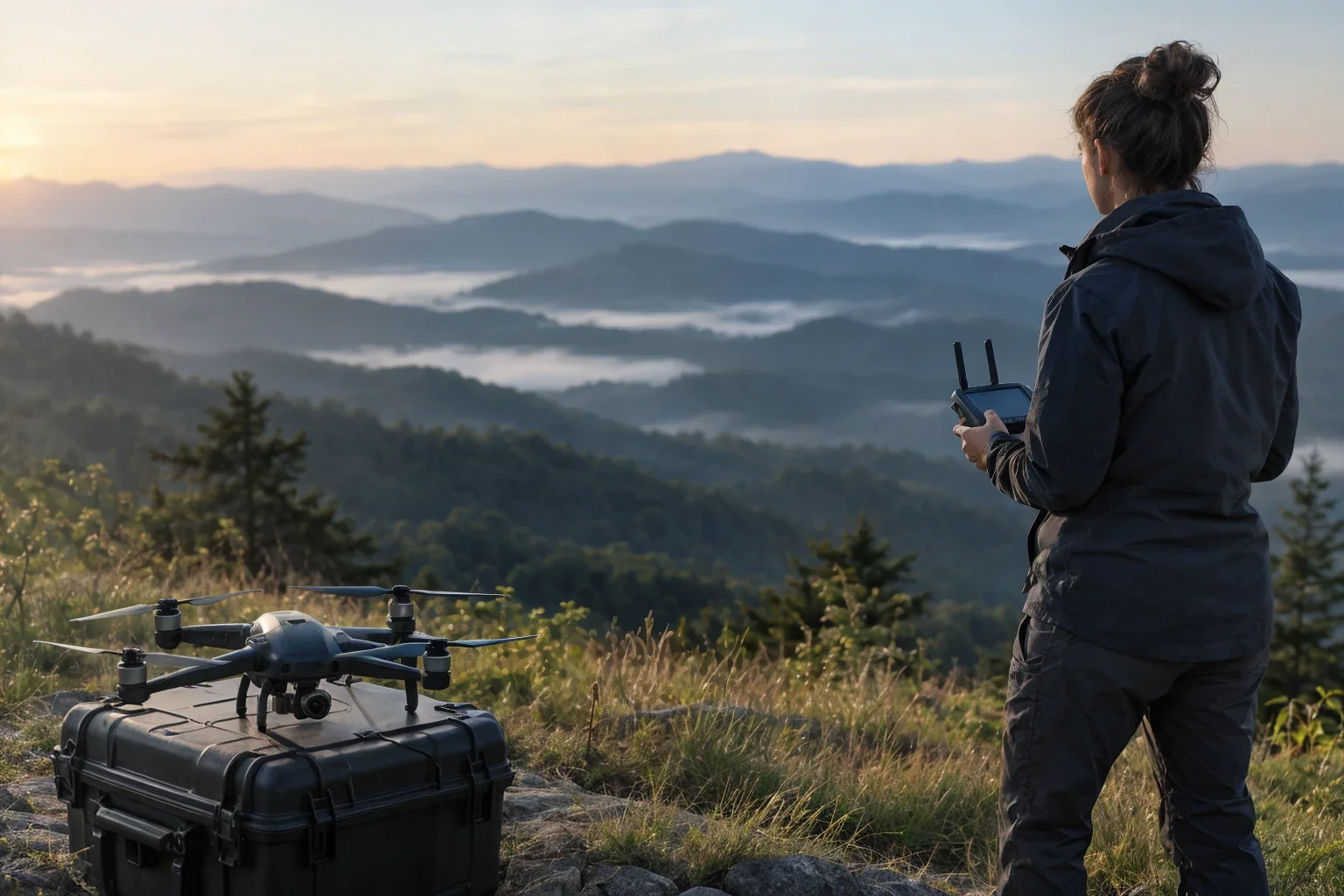 04 / Integrate
Integrated aerial systems.
Connect the platforms, people and systems behind your operation. We help define integration needs and coordinate manufacturer and implementation connections for new or existing UAS programs.
Let’s exploreShowing all 4 capabilities
Your next move
What do you
need to see?
Start with your mission. We’ll help find the capability.