 Technologies

AMPAiR Technologies
ONE PARTNER.
ENDLESS CAPABILITY.
Aerial Technology. Innovative UAS Solutions.
Connecting organizations with the right technology, capabilities, and solutions.
Aerial Technology. Innovative UAS Solutions.
Aerial technology.
Built for your mission.
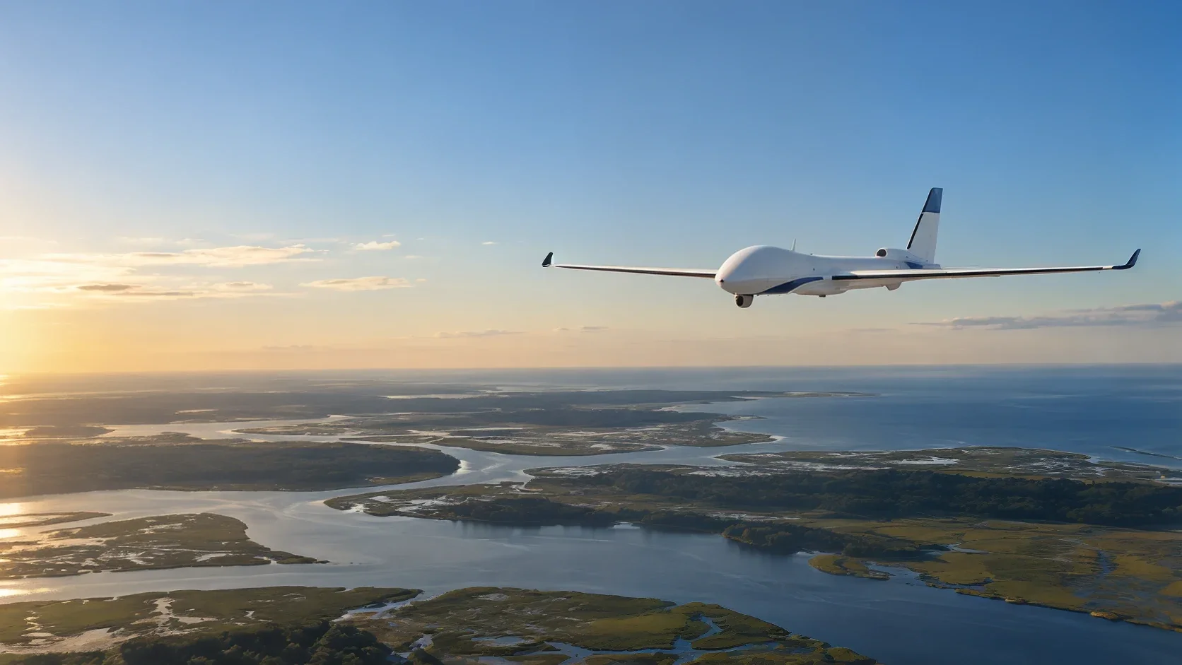 01 / Capture
UAS & payloads
Aircraft and sensors. Built around your mission.
Explore capability 02 / Analyze
Software & intelligence
From aerial data to a clearer decision.
Explore capability03 / ProtectCounter-UAS
Coming soon. Counter-UAS capabilities in development.
Explore capability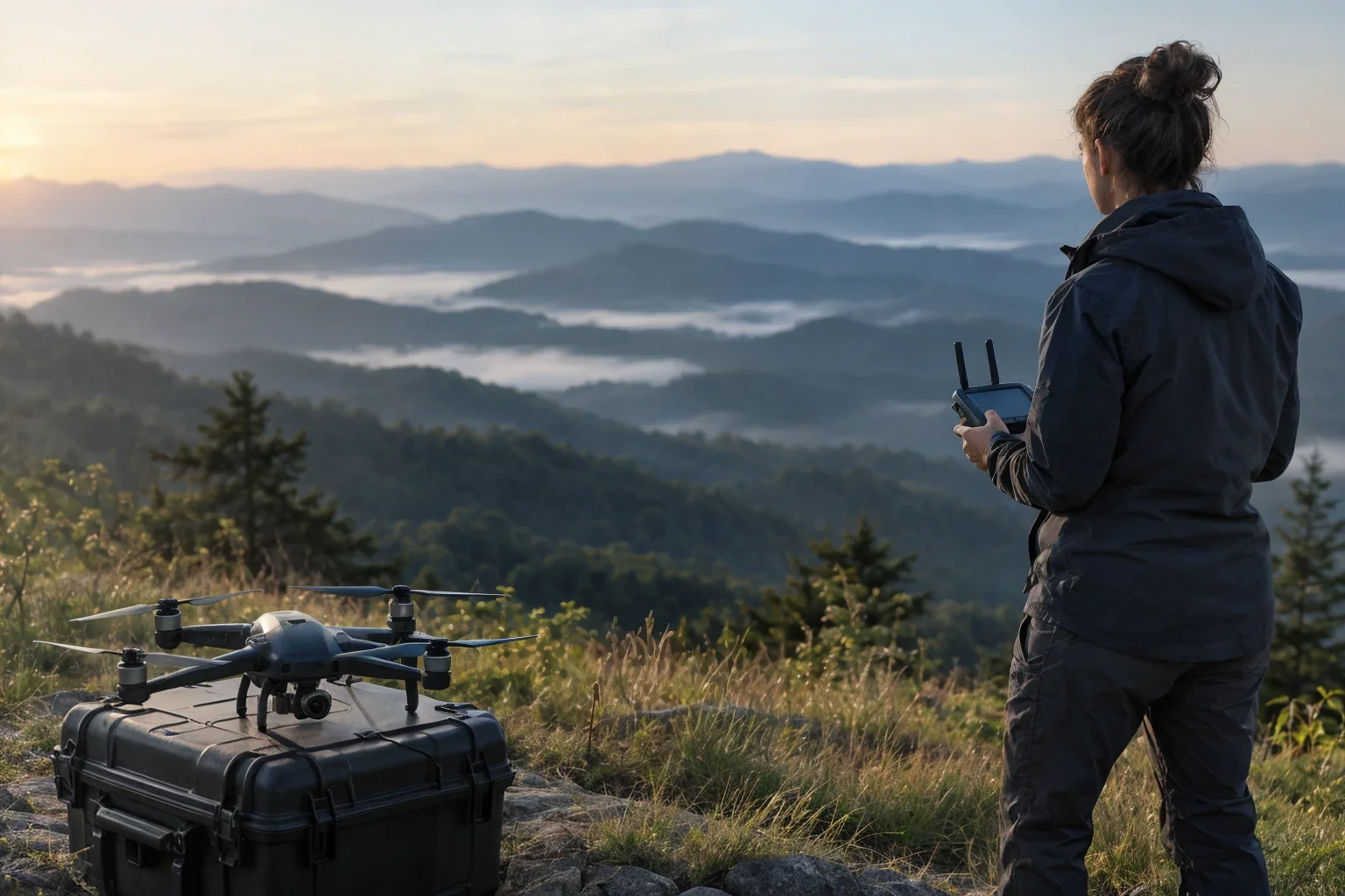 04 / Integrate
Aerial systems
Bring your whole operation together.
Explore capabilityA different kind of insight
See more.
Do more.
Connect aerial information to decisions that matter.
Explore the possibilitiesThe AMPAiR difference
Experience you
can build on.
Aviation. Intelligence. Government. We bring an operational perspective to every connection.
real-world experience
Both sides of the mission
Built to connect.
You bring the ambition. We help with the next step.
South Carolina roots. Southeast reach.
Local knowledge.
Wider possibilities.
Based in South Carolina, we connect organizations across the Southeast with UAS manufacturers, aerial technology and operational expertise.
Get to know us Regional connections / Illustrative map
Your next move
Ready for
your next possibility?
Bring us your mission. Let’s make the connection.